
Clyde Arbuckle, a Willow Glen resident, was the first City Historian for the City of San Jose'.
Born in 1903, Arbuckle experienced the 1906 San Francisco Earthquake with his half brothers and sisters, one of whom was silent film star Roscoe "Fatty" Arcbuckle.His family were pioneers in the Valley, having settled here in 1846. Arbuckle was raised enjoying family history stories about early Valley life. He became an ardent collector of records and lore about our local history.
Arbuckle worked for the American Railway Express after leaving school at the age of 15. He was a professional Banjo player and along with his brother, an award-winning bike racer with the Garden City Wheelmen.
He married his wife Helen in 1932. They had a son in 1935 and a daughter in 1936. Arbuckle built a new family home on Franquette Avenue (near Curtner), which had no electricity on July 4,1939, the day the family moved into their new Willow Glen home.
As an avid and humorous public speaker and storyteller with a photographic memory, Arbuckle was popular with many local historic groups, where he was known for his iconic khaki shirts and pants, worn daily with what he called his "Denver" Stetson.

In 1945 the Historic Landmarks Commission was formed and nominated Arbuckle to become the first City Historian for the City of San Jose'. In 1950 Arbuckle was named the first director and curator for History San Jose', a new organization dedicated to preserving the Valley's history and artifacts. Arbuckle and Theron Fox are credited with saving San Jose's history.
From the History San Jose' Web site:
From the History San Jose' Web site:
"In 1970, under the urging of friend and fellow preservationist Theron Fox, Clyde was commissioned to write the definitive history of San Jose. The history was published in 1985, printed by friend and history buff Leonard McKay (Smith & McKay Printing), who has been said to have contributed greatly to the book’s completion.
Clyde also wrote Historic Names of Persons and Places in Santa Clara County (with Roscoe D. Wyatt in 1948), and Santa Clara County Ranchos in 1968.
He was an active member of the Ancient and Honorable Order of E. Clampus Vitas, the California Pioneers of Santa Clara Valley, and the Argonauts Historical Society, as well as being a Mason. In 1998, Clyde passed away at the age of 94.
Further reading from the San Jose Public Library, California Room: Clyde Arbuckle's history of San Jose, by Clyde Arbuckle; Santa Clara County Ranchos, by Clyde Arbuckle; King Library, Special Collection's Digital Collections; California Room's Clipping Files
---Submitted by Ralph Pearce on Saturday, March 15, 2014 - 5:01 PM."
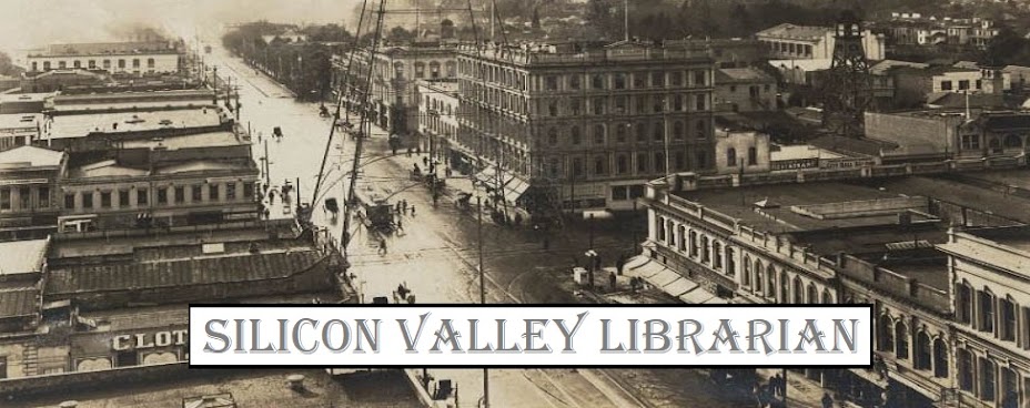
 |
| First Street San Jose |
(Note: Links to Clyde Arbuckle books on WorldCat and at local organizations, mentioned in the Ralph Pearce article above, were added by the author of this post, Catherine Bright.)A number of Clyde Arbuckle's articles and books exist in educational institutions, archives and library collections. They are listed here in the Online Archive of California and OCLC's WorldCat database.
Arbuckle amassed a large collection of photographs of Santa Clara Valley. The Clyde Arbuckle California History Research Collection is housed in the California Room at the Martin Luther King Jr. Branch of San Jose Public Library.
The California Pioneers of Santa Clara County have a life-size model of Clyde Arbuckle, seated in a reproduction of his complete office, complete with artifacts, at The Paulson House, located in San Jose History Park, 1650 Senter Road, San Jose, California. Paulson House has a wonderful collection of San Jose history documents and displays.
---Catherine Alexander Bright, SiliconValleyLibrarian.org


